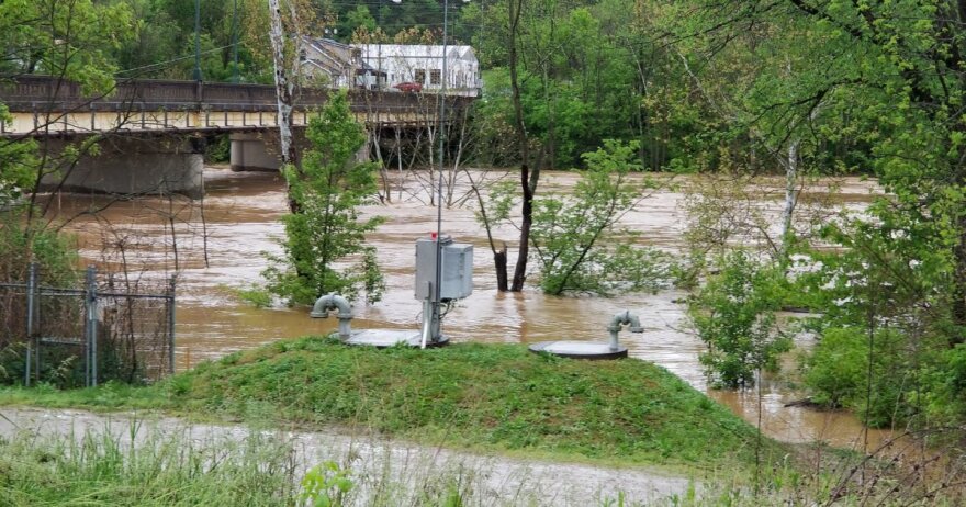
When the Licking River was still rising in Falmouth, Ky., emergency personnel had an evacuation plan in place thanks to a special interactive map. It showed right down to individual houses who would be flooded.
Mayor Ron Stinson couldn't help but think how the "Flood Mapper," as it's called, would have saved lives in 1997 when the river crested nearly 20 feet above flood stage and killed five people, including one of his science students.
He knew the limits in technology then and looked forward to when something better would come along to serve as a warning system.
Stinson says a couple of years ago the United States Geological Survey developed the map in conjunction with the U.S. Army Corp of Engineers, Pendleton County and the city. "We can basically take the projected crest on both of our rivers (Licking River and the south fork of the Licking River) and extrapolate that into the flood inundation map to see what parts of our community will be effected and to what extent."
Emergency Management Director Mike Moore says the public can use it by going to the website and following the directions.
"You can almost zoom into an individuals house and say, 'Yep, water's going to be up to where you're at or it's not," he says.


