The OKI Regional Council of Governments is spearheading a new mapping tool that helps determine the environmental impact of research and development projects through the region. The 21-layer map, called an Environmental Mitigation Sustainability Modeler, is unique because it allows people to prioritize which categories they want to focus on.
Senior environmental planner Margaret Minzner says the map can be used to determine points of interest that range from canopy cover and soil to low-income areas and cancer rates.
"Where are there endangered species? Where are there already parks in protected areas? Where is there canopy cover? Where is there not canopy cover? … We looked at soils - what kind of hydric soils are there out there? Where's there prime farmland? So we basically piled all these layers on top of each other," she said.

The map was launched in October and has been used for two projects so far.
One organization, Taking Root, used the technology to determine low-income areas that would most benefit from tree giveaways. It used the map to focus on low-canopy cover and low-income areas where people may be less able to afford buying new trees.
"So they saw where those red hot spots were between those two criteria, and then focused [on] the communities based on those hotspots," Minzner said. "So that they knew these are the areas with low-income, low-canopy that could most benefit from our program."
The map was also used by the Boone County Conservation District to study bat diversity. The research can be used to preserve biodiversity in the county.
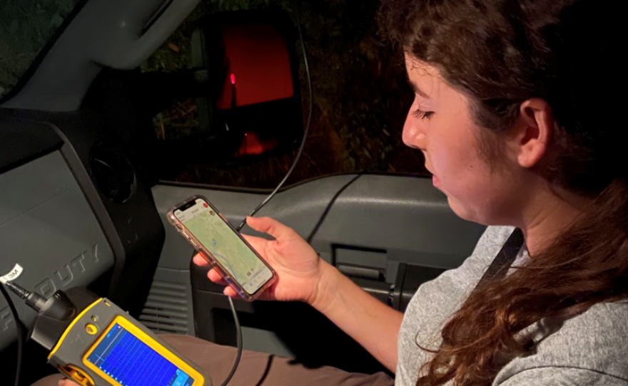
For the study, the map prioritized forests and streams near parks and protected areas. Then, nearby roads were selected for the mobile phase of the research. Stephanie Spence, Miami University graduate student and former district intern, then attached bat audio detectors to her car to help find and map the animals.
Minzner says she is optimistic the map could be used as a template for other communities to create similar tools.
The map is free to use and can be found on the OKI website.


